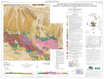
 Map Sheet 70: Geologic map of the Daggett and a Portion of the Minneola 7.5′ Quadrangles, San Bernardino County, California.
By Max M. Garvue1, Erica L. Key1, David M. Miller2, Katharine M. Loughney3, and Lyndsay B. Ball2
1California Geological Survey, Sacramento, CA
2U.S. Geological Survey
3Murray State University, Murray, KY
The California Geological Survey Mineral Resources Program has completed new 1:24,000-scale geologic mapping of the Daggett Ridge area in the Mojave Desert, approximately 10 km southeast of Barstow, California. Mapping was funded by the U.S. Geological Survey's Earth Mapping Resources Initiative (Earth MRI) (award no. G23AC00509) to improve geologic characterization of the Daggett Ridge area, with a focus on the Barstow Formation, a regionally extensive sequence of approximately 19- to 13-million-year-old lake, wetland, and fluvial deposits that locally host lithium-bearing clays.
Suggested citation:
Garvue, M.M., Key, E.L., Miller, D.M., Loughney, K.M., and Ball, L.B., 2026, Geologic map of the Daggett and a portion of the Minneola 7.5′ Quadrangles, San Bernardino County, California: California Geological Survey Map Sheet 70, scale 1:24,000.
Download Map Sheet 70 and pamphlet
