It is clear that destructive earthquakes pose a continuing major threat to lives and property throughout California. Earthquake strong motion data provide information for engineers to improve earthquake resistance for buildings and other structures. The California Strong Motion Instrumentation Program (CSMIP) records the strong shaking of the ground and in structures during earthquakes for the engineering and scientific communities through a statewide network of strong motion instruments. The measured ground strong shaking is used immediately after an event to assist in emergency response by agencies like Cal OES. Structural measurements are studied after events to analyze the performance of structures, with the goal of mitigating future earthquake impacts through improved building codes for safer, more earthquake-resistant structures.
Internet Quick Reports, Internet Data Reports, and CESMD

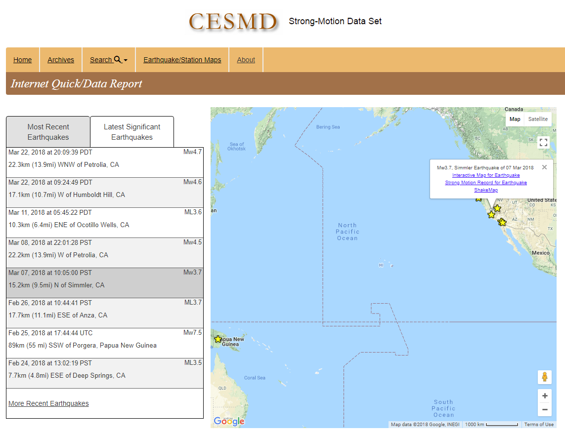
After an earthquake, records collected by CSMIP are processed and distributed statewide via the Internet Quick Report (IQR) and the
Internet Data Report (IDR). The release of IQR is usually accompanied with the release of a ShakeMap and is for earthquakes of magnitude 3.5 or above, and for events with strong-motion recordings. The IQR later transitions to the IDR.
The CESMD (Center for Engineering Strong Motion Data) hosts the IQR and IDR, as well as archives of earthquake data going back several decades. All processed earthquake data are available for download from the CESMD.
Earthquake Data Interpretation and Utilization Reports
In 1989, CSMIP established a project for data interpretation and utilization. The primary objective of this project is to increase the understanding of earthquake ground shaking and its effects on structures through interpretation and analysis studies of strong motion data. The following reports are available for free download as Adobe PDF documents:
-
Earthquake Data Reports
Earthquake Data Reports document the strong motion records obtained at CSMIP stations during significant earthquakes. Each report includes tables, maps and strong motion records. The record section has three main groupings: ground-response, building and lifeline structure stations.
-
Earthquake Processed Data Reports
Earthquake Processed Data Reports document the results of digitization and processing of significant CSMIP records. The reports include plots of the uncorrected accelerations (phase 1 data), instrumented and baseline-corrected acceleration, velocity and displacement (phase 2 data), as well as response and Fourier amplitude spectra (phase 3 data).
-
Earthquake Data Utilization Reports
The California Geological Survey promotes and facilitates the improvement of seismic codes through the CSMIP Directed Research Project. The objective of the project is to increase the understanding of earthquake strong ground shaking and its effects on structures. Earthquake Data Utilization Reports are designed to transfer recent research findings on strong-motion data to practicing seismic design professionals and earth scientists, with the goal of accelerating the process by which lessons learned from earthquake data are incorporated into seismic code provisions and seismic design practices.
-
Other Earthquake Data Reports
An assortment of data reports that don't fit neatly into one of the main Data Report categories.
-
Surface Wave Measurements for VS30
VS30 is the time-averaged shear-wave velocity in the upper thirty meters of the earth's surface. It is a key index adopted by the earthquake engineering community to account for seismic site conditions. VS30 is also used by the National Earthquake Hazards Reduction Program and the Uniform Building Code to separate sites into classes for earthquake engineering design. These reports contain the results of surface wave measurement studies conducted at various CSMIP station sites in California.
Annual SMIP Seminar Proceedings

The purpose of the annual SMIP Seminar is to increase the utilization of strong-motion data in improving post-earthquake response, seismic code provisions and design practices. The seminar is a series of annual events designed to transfer recent research findings on strong-motion data to practicing seismic design professionals and earth scientists. The goal is to provide information that will be useful immediately in seismic design practice and post-earthquake response and, in the longer term, in the improvement of seismic design codes and standards.
ShakeMap

A
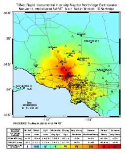
ShakeMap is a representation of ground shaking produced by an earthquake. The information it presents is different from the earthquake magnitude and epicenter that are released after an earthquake because ShakeMap focuses on the ground shaking produced by the earthquake, rather than the parameters describing the earthquake source. ShakeMaps are generated automatically following moderate and large earthquakes. These are preliminary ground shaking maps, normally posted within several minutes of the earthquake origin time. Under the CISN project, ShakeMaps currently are generated in both Northern and Southern California and at CGS.
Web page by:
California Geological Survey - Strong Motion Instrumentation Program
