This page provides summaries of past and present California State Geologists; more complete biographies (pre-2015) are available in Appendix B of Special Publication 126 - The California Geological Survey: A History of California’s State Geological Surveys, 1850-2015.
The California State Geologist provides technical information and advice to the Governor, State agencies, the professional community, and the public on all issues pertaining to California geology, geologic hazards, engineering geology, and the State's mineral resources. The State Geologist is the chief administrator of the California Geological Survey (CGS) within the Department of Conservation, ensuring that CGS maintains its partnership with the people of California in fulfilling its mission of providing the highest quality geological and engineering expertise and information for the betterment of the State's economy, environment, and its public’s safety. The California State Geologist must be registered in compliance with the Geologist and Geophysicist Act (refer to Section 677 of the California Public Resources Code).
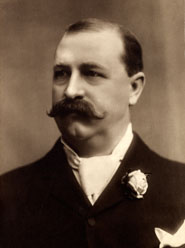
John Boardman Trask
State Geologist, 1850–1856
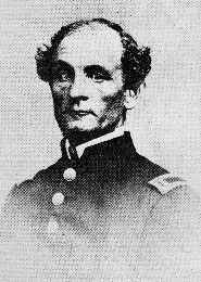
Born in Roxbury, MA, Dr. Trask was also a physician. Trask was the president and founder of the California Academy of Sciences and also undertook the first survey of the state under orders from the Senate in 1853. The mineral Traskite was named in his honor as the first state geologist.
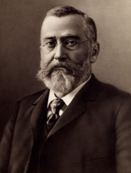
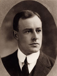
Josiah Dwight Whitney
State Geologist, 1860–1873
Josiah Whitney was born in North Hampton, MA. He studied at Yale before pursuing graduate work in Europe where he studied geology and chemistry. Before receiving an honorary master of laws (L.L.D.) degree from Yale in 1870, Whitney was a professor of geology at Harvard University in 1865. He served as a United States geologist conducting a survey of the Lake Superior copper region from 1847 to 1851. From 1860 to 1874 he served as the State Geologist of California and director of the first Geological Survey of California. While at the survey he organized a team of geologists and geographers to survey the entire state of California which included the first scientific survey of the Sierra Nevada. Whitney lead an expedition in 1864 to discover a peak, Mt. Whitney, later named in his honor. Read more about Whitney in this Wikipedia article.
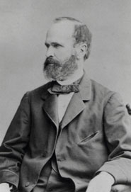
Henry Garber Hanks
State Mineralogist, 1880–1886
On May 15, 1880, the Governor — under “An Act to provide for the establishment and maintenance of a Mining Bureau” — appointed Henry Hanks the State Mineralogist. Under this act, Hanks also reported directly to the Governor and as a result two new publications were created under his service, the Annual Report of the State Mineralogist series and Special Publication series. Prior to his appointment the State Legislature established the State Mining Bureau, which required the Bureau and the mineralogist to be located in San Francisco. Hanks started his own assaying company, Pacific Chemical Works, while in San Francisco.
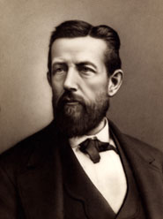
William Irelan Jr.
State Mineralogist, 1886–1892
William Irelan Jr. was State Mineralogist in 1886 but also carried another title in 1890 when he was made State Engineer. He worked both positions until 1892.
In 1891, Irelan published the first geologic map of the state and although it did not cover the entire state it did show eight stratigraphic units in color. The scale was approximately 1:760,000 making it the largest geologic scale map at that time. Preparing geologic maps of the state was not only a popular service but an essential service of the Bureau and still is to date.
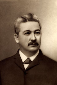
J.J. Crawford
State Mineralogist, 1892–1896
Crawford published bulletins on various topics such as, gold mill practices, gas yielding formations and others. He also published a bibliography of California geology and a catalog of California fossils.
Augustus S. Cooper
State Mineralogist, 1896–1901
During Cooper's service with the state, the Bureau moved into the newly built Ferry building at Market Street in San Francisco. These offices were occupied until August 1984, when the Division moved to Pleasant Hill in Contra Costa County.
Lewis E. Aubury
State Mineralogist, 1902–1911
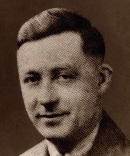
William H. Storms
State Mineralogist, 1911–1913
William Storms was appointed State Mineralogist by Governor Johnson on November 25, 1911. Storms worked as a field assistant under William Irelan and J.J. Crawford. In 1900, Governor Henry gage appointed Storms to study the mines in the Mother Lode of California. The outcome of this work was issued by the Bureau as Bulletin Number 18.
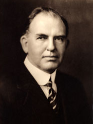
Fletcher McNutt Hamilton
State Mineralogist, 1913–1923
In 1916, Hamilton published the second geologic map of the state that was complete and displayed 21 stratigraphic units along with an explanatory volume explaining the units.
Lloyd Root
State Mineralogist, 1923–1928
Walter W. Bradley
State Mineralogist, 1928–1946
Walter Wadsworth Bradley was a native of California and started working for the State Mining Bureau in 1912. He served the state for over 34 years and his last 18 years were as the State Mineralogist.
W. Burling Tucker
Interim State Mineralogist, 1946–1947

W. Tucker served the state for over 30 years and started with the division in 1923. He was a supervisor of the Los Angeles office since 1923. Tucker was unable to qualify for the promotional examination to the State Mineralogist position and to honor his service to the state, a temporary appointment was given to him for 5 months.
Olaf P. Jenkins
State Mineralogist, 1947–1958
Olaf Jenkins was the Chief of the Division for 11 years until he voluntarily retired in March 1, 1958 at age 69. Prior to that Jenkins served for 18 years as Chief Geologist.
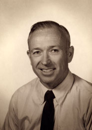
Gordon B. Oakeshott
Interim State Mineralogist, 1958–1959
Dr. Gordon B. Oakeshott was serving as Deputy to the State Mineralogist Jenkins when he retired and was temporarily appointed as Chief of the Division of Mines for one year.
Ian Campbell
State Geologist, 1959–1969
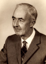
Besides serving 10 years of state service as the State Geologist, Ian Campbell also served as president for the following four geological organizations; Geological Society of America (GSA), Association of American State Geologists (AASG), Mineralogical Society of America (MSA) and American Geological Institute (AGI). Mount Ian Campbell in the Sierra Nevada is also a reminder of Ian's service to California.
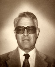
State Geologist when the 1971 San Fernando earthquake hit, Wes Bruer was influential in expanding the Survey’s role in monitoring earthquake strong motion and mapping earthquake hazards.
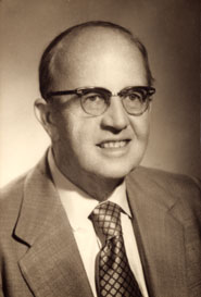
James E. Slosson
State Geologist, 1973–1975
Prior to serving as the State Geologist, James Slosson started his own company specializing in areas of geoscience. James also spent over 35 years teaching in various academic institutions.
Thomas E. Gay
Acting State Geologist, 1975–1978
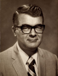
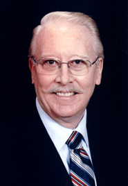
James F. Davis
State Geologist, 1978–1987, 1989–2003
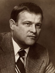
Jim Davis began serving California as State Geologist in 1978. He undertook the implementation of California’s new Surface Mining and Reclamation Act (SMARA). With staff he designed the means of classifying mineral resources in areas of competing land uses. Davis also oversaw the establishment of mined-land reclamation standards and the state review of individual reclamation plans. In his capacity as State Geologist, Davis oversaw the seismic hazard activities of the Division of Mines and Geology (DMG), including the Alquist-Priolo Fault Zone Act, the Seismic Hazard Mapping Act, and the DMG reviews of seismic design parameters for public schools, hospitals and other critical facilities. He served on a number of national science policy committees and authored numerous papers and abstracts on seismic policy issues. Davis was also in charge of design and oversight of DMG geologic mapping and geohazards programs. As chair of the of the Earthquake Hazards Committee of the Governor's Task Force on Earthquake Preparedness in the mid-1980s, Davis introduced the concept of earthquake scenarios portraying damage to lifelines and critical facilities associated with plausible future earthquakes in California’s urban areas.
Brian E. Tucker
Acting State Geologist, 1987–1989
Between 1987 and 1989, Tucker was appointed Principal Geologist and then Acting State Geologist for the California Division of Mines and Geology (CDMG). During this time, CDMG was authorized by the California Legislature to evaluate the effectiveness of establishing an earthquake warning system in California. Prior to his appointment, Tucker served five years as Supervising Geologist for the Division's Geophysics Program, which included the Strong Motion Instrumentation Program.
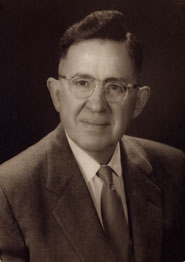
Michael S. Reichle
Acting State Geologist, 2003–2005
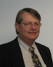
John G. Parrish
State Geologist, 2005–2018
John Parrish came to the State Geologist position from the State Mining and Geology Board (SMGB) where he served for over a decade as the Board's Executive Officer. Prior to his term at SMGB he was Executive Officer for the State Board of Registration for Geologists and Geophysicists, Department of Consumer Affairs. He spent twenty years in the private sector in the natural resources industries, most prominently with major international petroleum companies. He managed geological projects around the world in places such as the United Kingdom, Western Europe, Texas, Colorado, Oklahoma, and California. Dr. Parrish obtained his Ph. D. in geology from the University of Wales, United Kingdom. He earned a M.S. degree in geology from the University of Houston, Texas and a M.B.A. degree in finance through the California State University system. His B.S. degree in geology is from the University of Redlands, California. Dr. Parrish is a California Registered Geologist, a Certified Petroleum Geologist by the American Association of Petroleum Geologists, member of the American Institute of Professional Geologists, the Society for Mining, Metallurgy & Exploration, a former President of the Association of American State Geologists, served on the Board of the Consortium of Organizations for Strong Motion Observational Systems (COSMOS), and chaired the California Earthquake Prediction Evaluation Council (CEPEC).
William “Bill” Short and Tim McCrink
Acting State Geologists, 2018–2020
Steven R. Bohlen
Acting State Geologist, 2020–2022
Steve Bohlen became Acting State Geologist and head of the California Geological Survey on June 1, 2020. A graduate of Dartmouth College, he earned a Ph.D. in geochemistry from The University of Michigan in 1979. Following a postdoctoral fellowship at UCLA, he became a tenured professor at Stony Brook University in New York. From 1995 through 2000, Dr. Bohlen was Associate Chief Geologist for Science at the U.S. Geological Survey. He was responsible for the scientific priorities and funding of the broad portfolio of USGS research, including the National Earthquake Hazards Reduction, Climate Change, Global Energy, and Minerals Resource programs. As President and CEO of Joint Oceanographic Institutions from 2000-2008, he led the global effort in scientific ocean drilling and the Integrated Ocean Drilling Program and the systems engineering and deployment of the U.S. National Science Foundation’s Ocean Observatories. This was not Dr. Bohlen's first stint with the state; he had previously served the California Department of Conservation as State Oil and Gas Supervisor from 2014-2015.
Dr. Bohlen came to the California Geological Survey on loan from the Lawrence Livermore National Laboratories (LLNL) where he headed the national Energy and Homeland Security program. During his time with the CGS, he cultivated key relationships with other state agencies, the U.S. Department of Energy, and the U.S. Geological Survey. His prior work on the LLNL's Options for Negative Carbon Emissions in California helped shed light on the role geologic carbon sequestration could play in achieving carbon neutrality. That work directly connects to the expertise provided by the CGS to identify locations for sequestration, through its work in 3-D geological modeling and mapping. He also elevated the CGS's role in identifying potential sources of critical minerals. In March 2022, the Lawrence Livermore National Laboratories called Dr. Bohlen back from the CGS to resume his work with the Energy and Homeland Security program.
Position Vacant
2022–2023
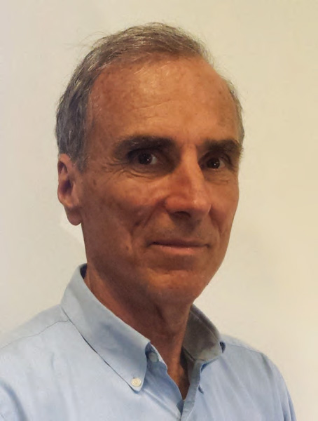
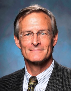
Jeremy Lancaster
State Geologist, 2023–Present

Jeremy Lancaster became California State Geologist in October 2023. He brings to the position more than two decades of professional experience, most of that time at the CGS. He is a Licensed Professional Geologist and a Certified Engineering Geologist.
Lancaster began working at the CGS in 2006 in the Seismic Hazards Assessment Program, and worked in many of the technical programs within the Survey, with his last position being the chief of the Watershed Hazards and Climate Adaptation Branch. He also served on the board of directors for the Floodplain Management Association, supporting the association with post-fire debris flow and alluvial fan hazards information. Before coming to the CGS he worked at the California Department of Water Resources groundwater branch in Glendale, CA, for the URS Corporation performing groundwater investigations throughout California and Arizona, and landslide and bridge foundation investigation projects with the California Department of Transportation.
Prior to becoming State Geologist, Lancaster had completed large multi-agency and multi-disciplinary projects that provide land use planning tools, surficial geologic mapping for wildlife habitat relationship assessments, and community planning tools for pre- and post- wildfire flash flood and debris flow hazards mitigation. He mapped the geology of over 10,000 square miles of California’s diverse terrain, completed fifteen peer reviewed publications, four multi-agency publications, and more than ten CGS Special Reports and geologic maps. He has also served as both a technical reviewer and editor for external journal publications, and given over 100 professional presentations.
