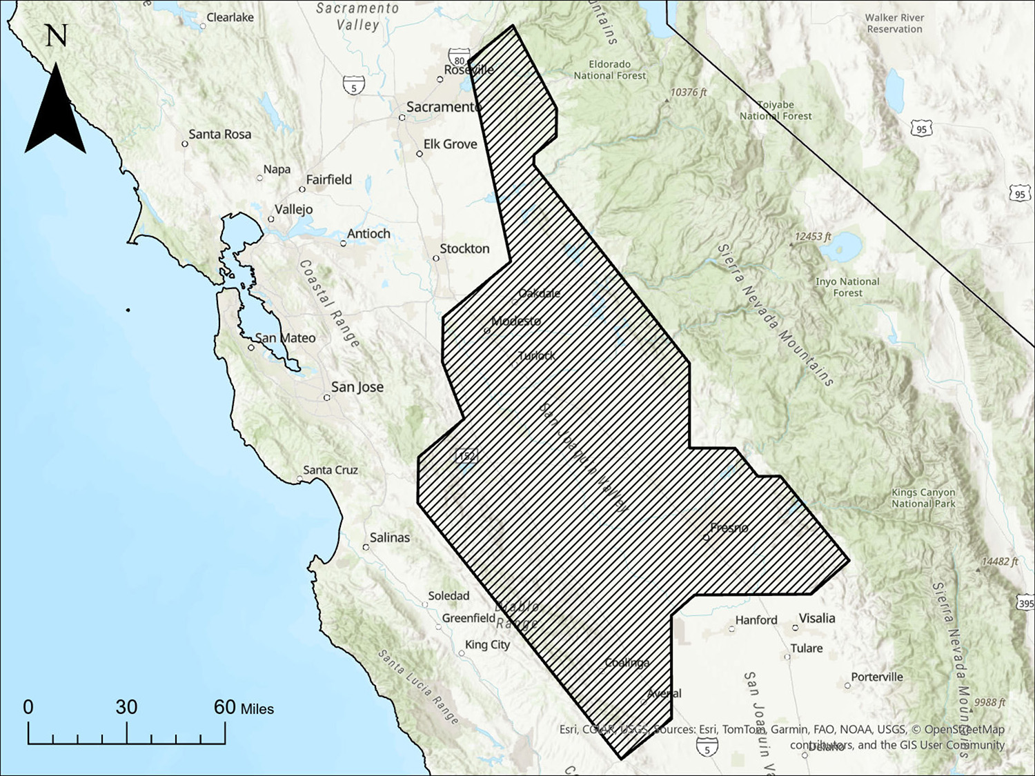
 Map showing location and area of the Airborne Magnetic and Radiometric Geophysical Survey of a portion of the northern San Joaquin Valley, California.
By Angela Gerhardt, PG., Kazumi Nakamura, PhD, PG, Lennin Escobar, and Josh Coyan, PhD
Summary of DR 2026-4
The California Geological Survey (CGS) contracted Terraquest Airborne Geophysics to acquire high-resolution airborne magnetic and radiometric data over approximately 30,365 square kilometers in the northern San Joaquin Valley, California. The survey was flown between June 2024 and April 2025 and included 1,052 traverse lines oriented 050º/230º and spaced 300 meters apart and 60 control lines oriented 140º/320º oriented and spaced 3,000 meters apart, for a total of 111,351 line-kilometers of data collection.
The survey was conducted to expand high-resolution geophysical data coverage in California and improve understanding of the geologic framework in the region. Airborne magnetic data can help delineate variations in subsurface geology and geologic structures, while radiometric data provide information about the distribution and composition of rocks and materials at or near the ground surface. Together these datasets support rock identification, geologic and geophysical mapping, and characterization of surface and subsurface geology. The data were collected to support a variety of geologic investigations, including efforts to identify and characterize areas that may be suitable for geologic carbon sequestration.
This data release provides the airborne magnetic and radiometric survey data and associated contractor deliverables. The data are released as collected and processed by the contractor and do not include geologic interpretations by CGS.
Suggested citation:
Gerhardt, A.M., Nakamura, K., Escobar, L., and Coyan, J.A, 2026, Airborne Magnetic and Radiometric Geophysical Survey of a portion of the northern San Joaquin Valley, California, DR 2026-4. California Department of Conservation, California Geological Survey data release, https://conservation.ca.gov/cgs/publications/data-releases.
